SUE
SUE LEVEL D, C, B & A
Planview USL supports all quality levels of SUE while managing the associated risks with utility coordination, mapping, relocation, condition assessment and design.
The Planview USL SUE team adheres to the 38-02/38-22 ASCE and CSA S250 standards. Our SUE team reduces utility conflicts, enhances safety and mitigates unnecessary alignment changes, translating to a reduction in utility relocation costs and a savings in design and construction costs.
Level D: This is the most basic level of SUE and is typically used for project and route planning and uses existing utility records/maps and as-built drawings.
Level C: Locating and surveying visible above ground utility end points and capturing invert measurements on catch basins and manholes.
Level B: The application of surface geophysical methods to determine the existence, whereabouts and horizontal position of the utility.
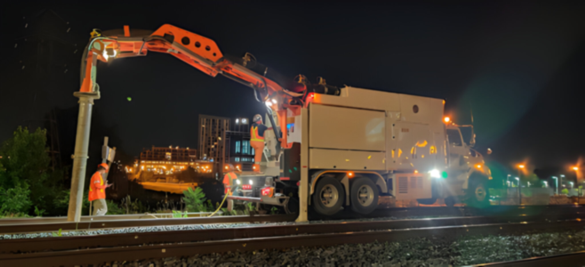
Level A: “Daylighting” The utility is exposed in a “Test Pit” using non-destructive methods like hydro-vacuuming. The utility is captured via GPS coordinates to 1.5 cm level accuracy. The highest level of accuracy available.
3D MODELLING
The relocation of subsurface utilities can be complex to visualize and challenging to communicate to key stakeholders. 3D modelling removes these complexities and seamlessly illustrates the transition from current state to future state.
Easily deliver and communicate the complexities of ‘what lies beneath’ your excavation with a 3D model.
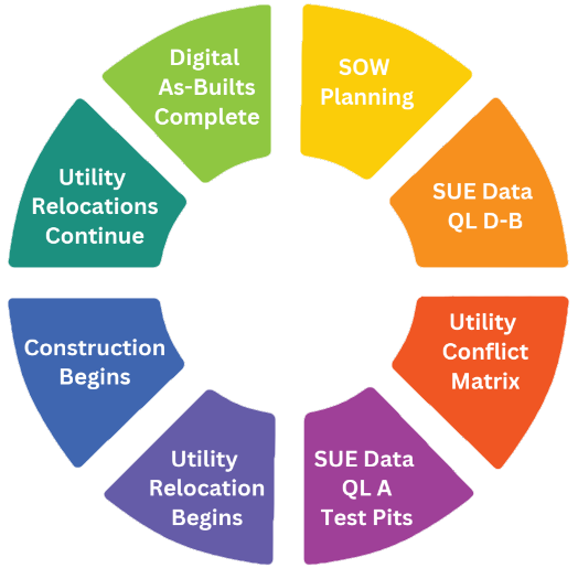
SUE PROJECT LIFECYCLE

THE PLANVIEW USL DIFFERENCE
As utility experts, we leverage the power of geospatial data by delivering utility GPS coordinates into your GIS application for enhanced usability across your organization.
Our SUE Infrastructure Team provides customized project management for utility conflict resolution and re-design throughout the entire utility relocation process. Detailed reporting, GIS dashboards and interactive mapping inform customers of resolved and unresolved utility conflicts throughout the duration of their construction project.
Planview USL provides alternatives to traditional topographic surveys by using LiDAR, putting time and money back into your budget.
UTILITY INVESTIGATIONS
- CCTV Investigations • Topographic Survey
- Invert/Obvert Analysis • LiDAR Scanning
- Chamber Assessments • GPR Scanning
DELIVERABLES
- Updated CAD Design
- Civil 3D Design
- Test Pit Diagrams/Matrix
- Condition Assessment Report
- Hyperlinked Imagery
- Utility Conflict Summary
THE GEOSPATIAL DATA ADVANTAGE
Database Design & Management: Design and manage your records database, empowering you with unparalleled data accuracy at your fingertips.
Data Processing: Collect, convert, analyze and verify your data to ensure the highest data integrity.
Digital Mapping: Linking utility data attributes to GIS maps or 3D CAD files for added context and next level deliverables.
GIS Data Integration: Integrate your utility geospatial data into your GIS application to enhance your asset information and increase the ability to use the data across your organization.
THE RIGHT CERTIFICATIONS
- PEO (Professional Engineers of Ontario)
- OACETT (Ontario Association of Certified Technicians and Technologists)
- NASSCO
- DPT (Damage Prevention Technician)
- CSE (Confined Space Entry)
- PTS (Personal Track Safety rail certified)
- TTC Track & Streetcar certified
- CN/CP e-RailSafe
- GPR, GPS and GIS certifications and partnerships