
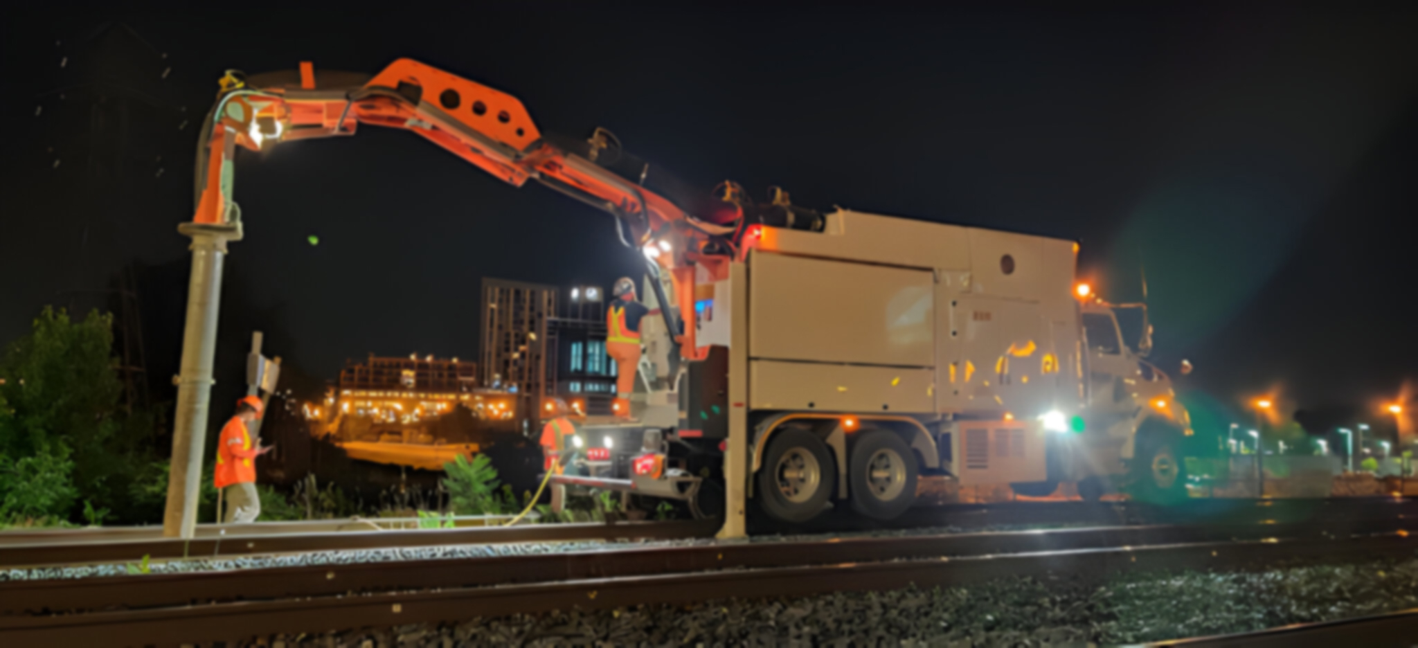
SUE – The Planview USL Difference
As utility experts, we leverage the power of geospatial data by delivering utility GPS coordinates into your GIS application for enhanced usability across your organization.
Our SUE Infrastructure Team provides customized project management for utility conflict resolution and re-design throughout the entire utility relocation process. Detailed reporting, GIS dashboards and interactive mapping inform customers of resolved and unresolved utility conflicts throughout the duration of their construction project.
Planview USL provides alternatives to traditional topographic surveys by using LiDAR, putting time and money back into your budget.
UTILITY INVESTIGATIONS
DELIVERABLES
- CCTV Investigations • Topographic Survey
- Invert/Obvert Analysis • LiDAR Scanning
- Chamber Assessments • GPR Scanning
- Updated CAD Design
- Civil 3D Design
- Test Pit Diagrams/Matrix
- Condition Assessment Report
- Hyperlinked Imagery
- Utility Conflict Summary
THE GEOSPATIAL DATA ADVANTAGE
Database Design & Management: Design and manage your records database, empowering you with unparalleled data accuracy at your fingertips.
Data Processing: Collect, convert, analyze and verify your data to ensure the highest data integrity.
Digital Mapping: Linking utility data attributes to GIS maps or 3D CAD files for added context and next level deliverables.
GIS Data Integration: Integrate your utility geospatial data into your GIS application to enhance your asset information and increase the ability to use the data across your organization.