Landbase-as-a-Service
WHY LANDBASE-AS-A-SERVICE?
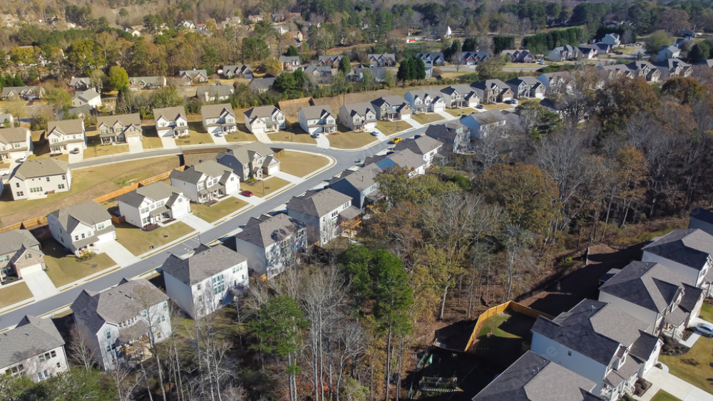
Traditional survey is time consuming, weather dependent and prone to human error. Combine these challenges with rural geographies, labour shortages, rising costs for outsourcing, tight deadlines on government funded initiatives and you have a perfect scenario where Landbase on an “as-needed” basis solves for all of this.WHAT IS LANDBASE-AS-A-SERVICE?
Landbase-as-a-service captures your service area data, generates maps and 360° imagery, adds asset attributes and integrates into your GIS platform. It greatly simplifies and enhances data capture, analysis and integration into your existing processes.BENEFITS OF LANDBASE-AS-A-SERVICE
- Gain Strategic Advantage
- Faster Go-to-Market Strategy
- Empower Remote Mindshare Workers
- Enhance Productivity With Less Resources
- Reduce Outsourcing Spend
- Increase Margins
ACCELERATING DIGITAL TRANSFORMATION
Landbase-as-a-Service supports emerging technologies that allow for the integration of geospatial data into secondary datasets across the organization. Enable cross-functional teams by integrating landbase data into the applications your teams use every day.HOW LANDBASE-AS-A-SERVICE WORKS
- Data Capture: Mobile lidar fleet dispatch.
- Cloud Transfer: Transfer raw lidar data.
- Point Cloud Generation: Create a 2D or 3D version of geospatial data.
- Classification: Categorize assets and data attributes.
- Feature Extraction: Extraction of classified asset attributes.
- Visualization: Publish asset details and attributes into a GIS format.