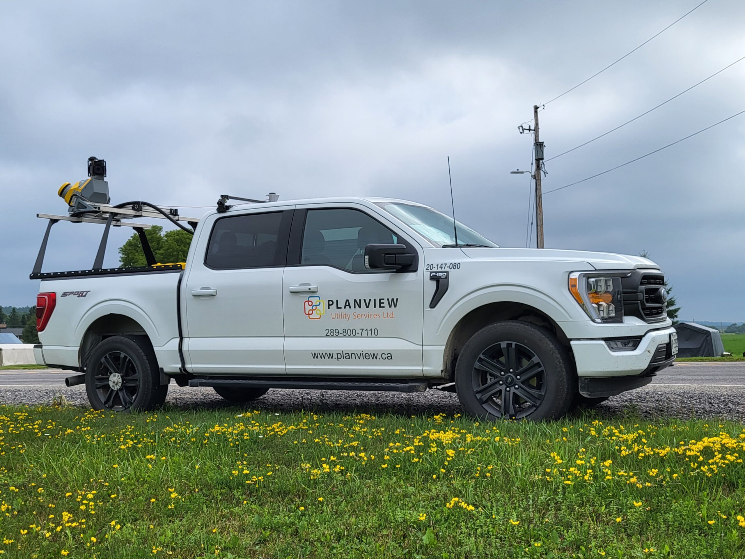
LIDAR & MOBILE MAPPING
‘FIELD TO FINISH’ MOBILE MAPPING
Our LiDAR fleet will capture, process and extract feature rich point cloud data accompanied with high resolution street imagery for added context. Geo-reference assets with sub 3 mm accuracy to transform into 3D models, mapping and an array of GIS deliverables.
Understand the location and condition of your assets without rolling a truck. Reduce your fleet expenditure and process higher volumes of work with geospatial data collected from our LiDAR fleet.
Planview USL provides an end to end solution from ‘field to finish’ for telecom, utility and municipal customers.
CAPTURE, PROCESS & EXTRACT
✔ 3-5mm accuracy
✔ 3 season data capture
✔ 360 Degree Field of View
✔ 3D Modelling
ENABLE ORGANIZATION-WIDE DECISION MAKING
Experience next-level productivity across your organization by leveraging geospatial data. Replace outdated, inefficient, manual asset data collection methods with the precision of geospatial data for informed decision making.- Capital Planning
- Asset Management
- Network Operations & Planning
- Outage Management
- Engineering / Design
- Vegetation Management
- Inspections & Maintenance
REIMAGINE WORKFORCE EFFICIENCY
Easily balance cost-effectiveness with design requirements.- 360 Degree Imagery
- GIS Integration
- Cloud Viewer
- 2D /3D CAD Conversion
- Condition Assessment
- Hyperlinked Imagery
- Geospatial Dashboard
- 35+ Layers of Data